Our Services
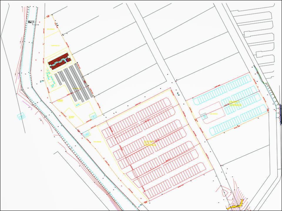
Our team of experienced land surveyors offers expert consultancy services, guiding our clients through the complex world of land surveying regulations, procedures, and best practices.
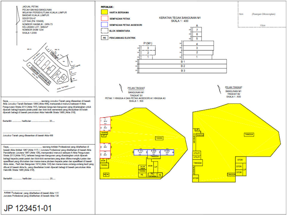
We specialize in title and strata surveys, ensuring precise measurements and comprehensive reports for property ownership documentation.
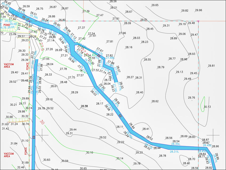
Our topographical and engineering surveys provide essential data for construction projects, land development, and infrastructure planning.
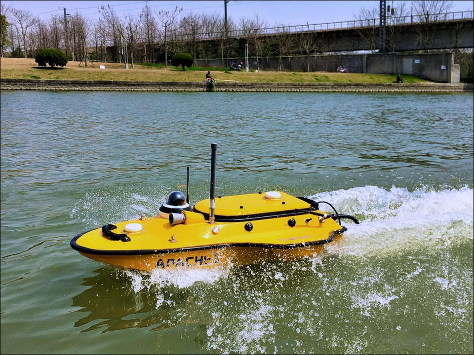
We conduct hydrographical surveys to map underwater terrain, making it crucial for coastal development, marine navigation, and environmental monitoring.

Utilizing advanced GPS technology, we deliver highly accurate positioning data for land and infrastructure projects.

Our drone survey capabilities enable us to capture aerial data efficiently, offering a bird's-eye view for various applications, including land mapping, construction progress monitoring, and environmental assessments.
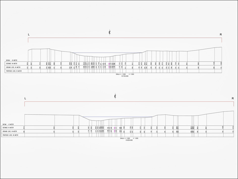
We can gather detailed information about the topography and elevations of a specific linear path or line on the ground for understanding the shape and characteristics of the land.
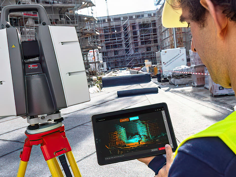
Our state-of-the-art laser scanning technology ensures detailed and precise 3D mapping, benefiting architects, engineers, and planners in their design and analysis processes.
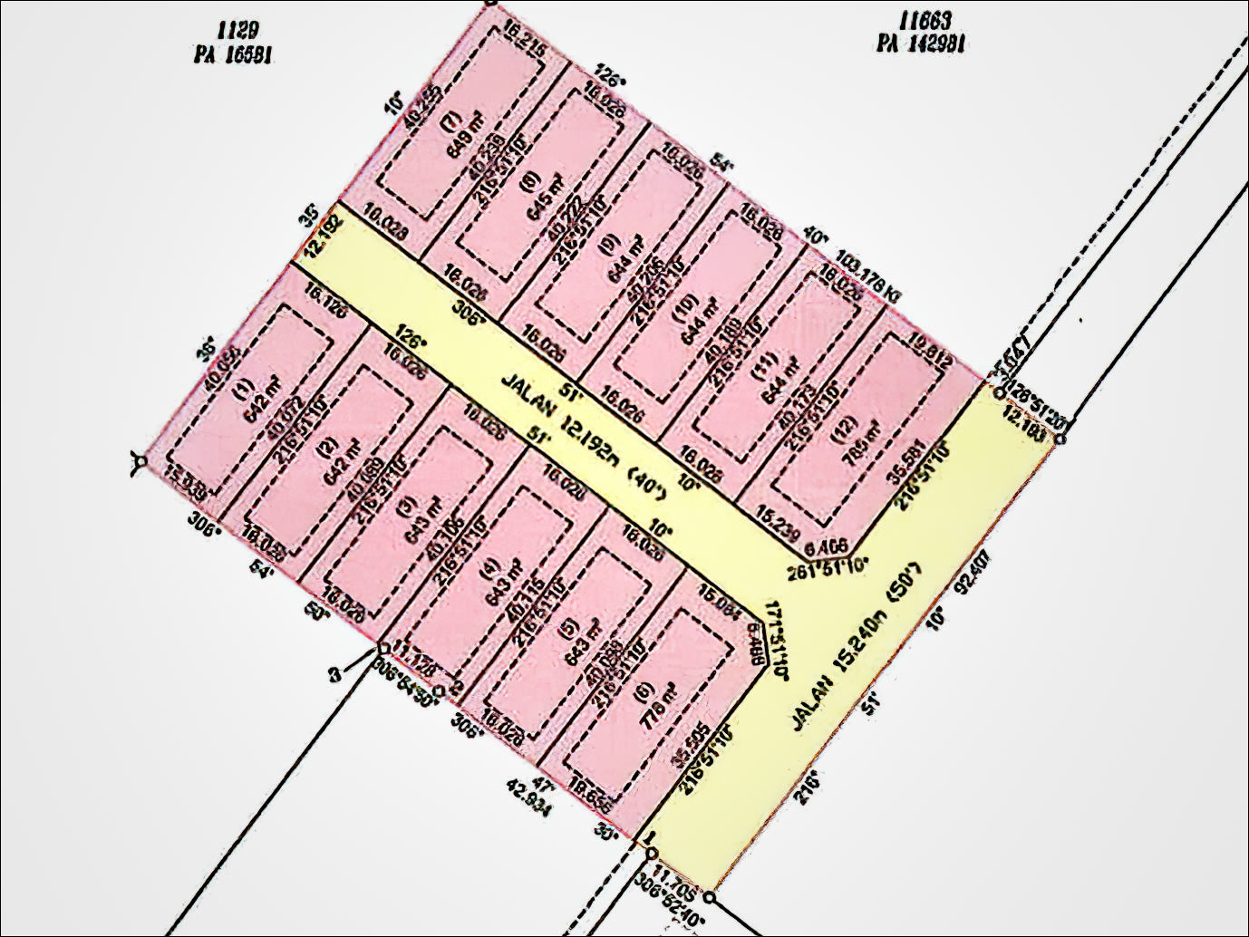
We can prepare a plan for dividing one or more parcels of land into additional allotments to fully realize the potential of a piece of land.
Get It Done
With Us Today
Effective planning is the essential blueprint for a smooth journey on the road to project success.


